
Population 403 (2011 census) State electorate(s) Cook Local time Sunday 5:48 PM | Postcode(s) 4895 Postal code 4895 Federal division Division of Leichhardt | |
 | ||
Bloomfield Wujal Wujal
Degarra
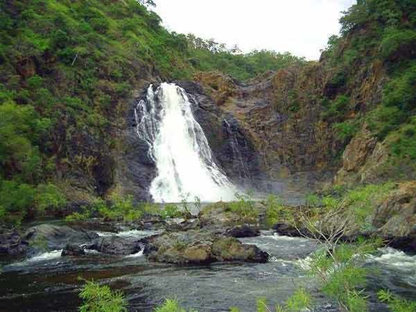
Cape Tribulation Weather 29°C, Wind E at 13 km/h, 79% Humidity Points of interest Roaring Meg Falls, Mount Pieter Botte, Mount Louis Lgas Shire of Cook, Shire of Douglas | ||
Bloomfield is a town and a locality which is split between the Shire of Cook and the Shire of Douglas in Queensland, Australia. In the 2011 census, Bloomfield had a population of 403 people.
Contents
Map of Bloomfield QLD 4895, Australia
Geography
The locality of Bloomfield is geographically divided into a northern section in the Shire of Cook and a southern section in the Shire of Douglas. The narrow boundary between the two sections is about 1 kilometre (0.62 mi) in width and follows a creek (a tributary of the Bloomfield River).
History
The town and locality are named after the Bloomfield River.
Prior to the deamalgamation of Shire of Douglas on 1 January 2014, Bloomfield was split between Shire of Cook and Cairns Region.
References
Bloomfield, Queensland Wikipedia(Text) CC BY-SA