
Country United States County Greene Time zone EST (UTC-5) Elevation 185 m Zip code 47424 Local time Sunday 2:46 AM | State Indiana FIPS code 18-05716 Area 3.57 km² Population 2,382 (2013) Area code 812 | |
 | ||
Weather 3°C, Wind E at 16 km/h, 58% Humidity | ||
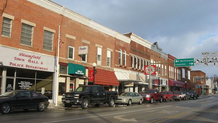
Bloomfield is a town in Richland Township, Greene County, Indiana, United States. The population was 2,405 at the 2010 census. The city is the county seat of Greene County.
Contents
- Map of Bloomfield IN 47424 USA
- History
- Geography
- 2010 census
- 2000 census
- Local landmarks and attractions
- Festivals
- References
Map of Bloomfield, IN 47424, USA
Bloomfield is part of the Bloomington, Indiana Metropolitan Statistical Area.
History
The area where Bloomfield is located has been inhabited by Native Americans since prehistory. Tribes that have lived in the area include the Miami tribe, Kickapoo, Piankeshaw and Wea. A settlement of Woodland period people has been excavated by Indiana University and Ball State University research teams near the confluence of Richland Creek and the White River south of Bloomfield.
The town of Bloomfield was laid out in 1824 when Greene County needed a new county seat due to the lack of a reliable water source for the town of Burlington. Burlington was located west of Bloomfield near the west fork of the White River.
The town's first structure was the Greene County Courthouse, a log structure, in the center of town. The current Greene County Courthouse, a brick structure built in the late 19th century, stands at the same location. An expansion and renovation project was completed in 2008. It was listed on the National Register of Historic Places in 2008.
In 1824, Peter Cornelius Van Slyke donated land to Greene County for the purpose of establishing a new county seat. Van Slyke was born on the Mohawk River in Schenectady County, New York, on April 5, 1766. He migrated to southern Indiana in 1816. Van Slyke was a veteran of the War of 1812 and died on September 25, 1834.
Geography
Bloomfield is located at 39°1′29″N 86°56′25″W (39.024634, -86.940307).
According to the 2010 census, Bloomfield has a total area of 1.38 square miles (3.57 km2), all land.
2010 census
As of the 2010 census, there were 2,405 people, 1,109 households, and 628 families residing in the town. The population density was 1,742.8 inhabitants per square mile (672.9/km2). There were 1,263 housing units at an average density of 915.2 per square mile (353.4/km2). The racial makeup of the town was 98.0% White, 0.5% African American, 0.6% Asian, 0.1% from other races, and 0.7% from two or more races. Hispanic or Latino of any race were 1.3% of the population.
There were 1,109 households of which 29.7% had children under the age of 18 living with them, 40.3% were married couples living together, 12.9% had a female householder with no husband present, 3.4% had a male householder with no wife present, and 43.4% were non-families. 40.2% of all households were made up of individuals and 18.7% had someone living alone who was 65 years of age or older. The average household size was 2.16 and the average family size was 2.89.
The median age in the town was 39.7 years. 24.5% of residents were under the age of 18; 8.3% were between the ages of 18 and 24; 24.3% were from 25 to 44; 24.5% were from 45 to 64; and 18.5% were 65 years of age or older. The gender makeup of the town was 46.9% male and 53.1% female.
2000 census
As of the 2000 census, there were 2,542 people, 1,180 households, and 665 families residing in the town. The population density was 1,841.1 people per square mile (711.2/km²). There were 1,315 housing units at an average density of 952.4 per square mile (367.9/km²). The racial makeup of the town was 98.31% White, 0.20% African American, 0.08% Native American, 0.43% Asian, 0.31% from other races, and 0.67% from two or more races. Hispanic or Latino of any race were 1.10% of the population.
There were 1,180 households out of which 23.6% had children under the age of 18 living with them, 43.6% were married couples living together, 10.3% had a female householder with no husband present, and 43.6% were non-families. 40.5% of all households were made up of individuals and 18.9% had someone living alone who was 65 years of age or older. The average household size was 2.06 and the average family size was 2.76.
In the town, the population was spread out with 20.8% under the age of 18, 8.5% from 18 to 24, 26.2% from 25 to 44, 22.7% from 45 to 64, and 21.7% who were 65 years of age or older. The median age was 41 years. For every 100 females there were 91.0 males. For every 100 females age 18 and over, there were 87.2 males.
The median income for a household in the town was $30,224, and the median income for a family was $42,656. Males had a median income of $31,864 versus $23,879 for females. The per capita income for the town was $18,045. About 12.0% of families and 16.6% of the population were below the poverty line, including 21.2% of those under age 18 and 11.8% of those age 65 or over.