
Country United States County Cook Time zone CST (UTC-6) Population 90,923 (2010) | State Illinois Elevation 630 ft (192 m) Local time Sunday 1:28 AM | |
 | ||
ZIP codes 60411, 60422, 60425, 60430, 60438, 60461, 60466, 60475, 60476 Weather -1°C, Wind SE at 23 km/h, 82% Humidity Points of interest Glenwood Woods, Homewood Historical Society, Wampum Lake Woods, Jurgensen Woods Nature Pr | ||
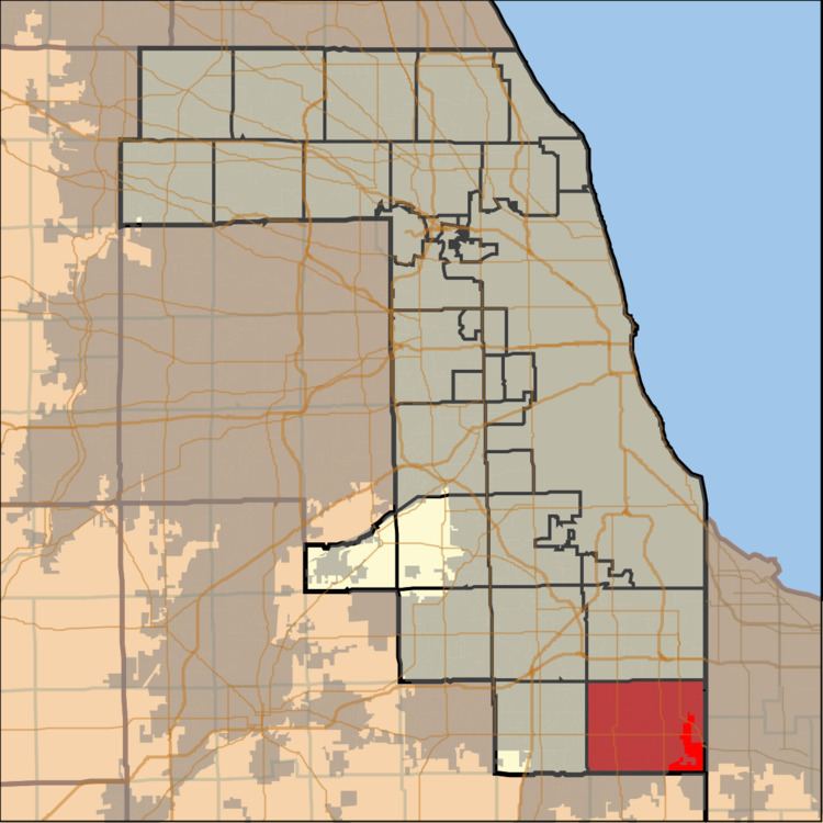
Bloom Township is one of 29 townships in Cook County, Illinois, USA. As of the 2010 census, its population was 90,923.
Contents
- Map of Bloom Township IL USA
- Geography
- Cities towns villages
- Adjacent townships
- Cemeteries
- Major highways
- Airports and landing strips
- Lakes
- Landmarks
- Political districts
- References
Map of Bloom Township, IL, USA
Geography
According to the United States Census Bureau, Bloom Township covers an area of 46.7 square miles (121.0 km2); of this, 46.4 square miles (120.3 km2) is land and 0.27 square miles (0.7 km2), or 0.59 percent, is water.
Cities, towns, villages
Adjacent townships
Cemeteries
The township contains these six cemeteries: Assumption, Bloom Presbyterian, Calvary, Mount Glenwood Memory Gardens, Saint James Catholic and Saint Pauls Evangelical Lutheran.
Major highways
Airports and landing strips
Lakes
Landmarks
Political districts
References
Bloom Township, Cook County, Illinois Wikipedia(Text) CC BY-SA