
Elevation 630 m (2,070 ft) Local time Sunday 3:47 AM | Time zone EET (UTC+2) Area code +961 | |
 | ||
Weather 8°C, Wind NW at 5 km/h, 71% Humidity | ||
Location
The municipality of Blida is located in the Kaza of Marjaayoun one of is one of the eight mohafazats (governorates) of Lebanon. Blida is 118 kilometers (73.3252 mi) away from Beyrouth (Beirut) the capital of Lebanon. It's elevations is of 630 meters (2067.03 ft - 688.968 yd) above sea level. Blida surface stretches for 1330 hectares (13.3 km² - 5.1338 mi²) .
Name
E. H. Palmer wrote that the name Belidet meant "The little village".
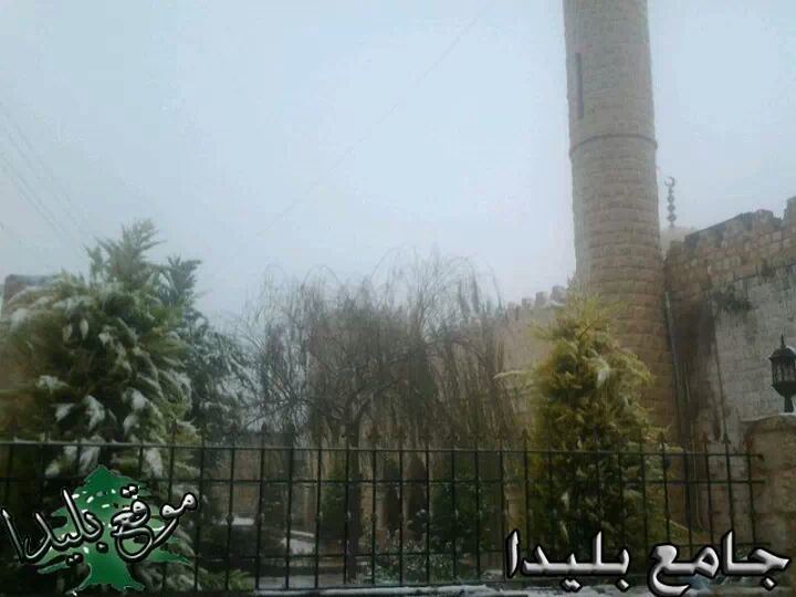
History
In 1881, the Palestine Exploration Fund's Survey of Western Palestine (SWP) described it as: "A village, built of stone, containing mosque, and having about 150 Moslem inhabitants, situated on a ridge, with figs, olives, and arable land. One cistern and a good spring one mile south-east of the village give the water supply."
They further noted: "Here are several columns and remains of ruins. Double triangles are cut on either side of door of mosque."