
Post town LONDON | Sovereign state United Kingdom Dialling code 020 | |
 | ||
Population 10,910 (2011 Census. Blendon and Penhill Ward) | ||
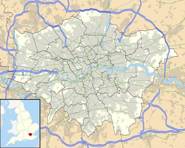
Blendon is an area of South East London within the London Borough of Bexley, located between Bexleyheath and Sidcup.
It is probably named after the Bladindon family who owned land in the area. Blendon Hall was built in 1763, but was sold to a local housing developer in 1929 and eventually demolished to make way for suburban housing. Today the area is a middle-class residential district with a small row of shops along the western stretch of Blendon Road.
Transport
Blendon is served by several Transport for London bus services.
The cloest National Rail Station is Albany Park Station.
References
Blendon, London Wikipedia(Text) CC BY-SA