
Population 3,355 (2011 census) Mean min temp Annual rainfall Postal code 2799 Lga Blayney Shire | Postcode(s) 2799 Mean max temp Mean min temp Elevation 863 m Local time Sunday 9:52 AM | |
 | ||
Weather 18°C, Wind SE at 11 km/h, 74% Humidity | ||
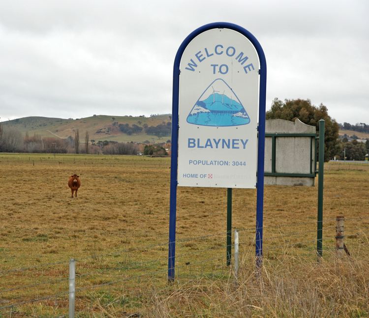
Blayney is a farming town and administrative centre with a population of 3,355 in 2011, in the Central West region of New South Wales, Australia. Situated on the Mid-Western Highway about 240 km west of Sydney, 35 km west of Bathurst and 863 m above sea-level, Blayney is the seat of Blayney Shire Council.
Contents
Map of Blayney NSW 2799, Australia
History
Prior to European settlement the area was probably occupied by the Wiradjuri or Gundungara Aborigines.
The first European to travel through area was surveyor George Evans, in 1815 and unofficial occupation of the district began in 1821. The first land grant in the general area known as Coombing Park was issued to Thomas Icely in 1829.
The area that would become the town also boasted a mill, an inn and several houses by 1837, and then Governor Gipps proposed the creation of a village to be named Blayney in 1842. His proposed site, however, was about 9 km north-east of the present site in an area known as Kings Plains but once that spot proved unsuitable the Blayney village location was established on its present site in 1843.
A train line used to run from Blayney to the Lime Kilns, transporting lime. This is situated on land adjoining the Blayney Cemetery and is heritage listed. Remnants of the lime kilns can still be seen today.
Industry
The arrival of the railway in 1874 boosted development and Blayney replaced Carcoar as the major service centre to local farmlands. Blayney then became a municipality in 1882 and by 1900 a butter factory and freezing works employed many within the town. An abattoir opened in 1957 and this industry was later supplemented with tanneries and a pet food plant. The abbatoirs closed in 1999.
In the late 1970s or early '80s a meat canning factory was built on farmland land East of Blayney. This produced Spam and other canned meats. This was later turned into an export meat boning facility run by Ron Jones Exports and then a pet food factory. Prior to this, the dam on the land was famous for yabbies, with Sunday school excursions frequenting there.
In 1989, Nestlé built a new pet food plant, Nestlé Purina, and purchased adjoining land including Blayney Foods. The Nestlé factory exports pet food to Asia and the Pacific.
The Cadia-Ridgeway Mine is a major employer in the area.
In 1994, Blayney became home to Australia's largest inland container terminal, which is situated beside the railway station.
The Blayney Wind Farm, launched in 2000, is the largest of its type in Australia. It consists of 15 wind turbine generators on elevated ridges between Carcoar Dam and Mount Macquarie. Capacity is 10 megawatts, sufficient energy to supply 3,500 Australian homes.
Transportation
The town's railway station is served by the daily NSW TrainLink XPT service between Sydney and Dubbo and the weekly Outback Xplorer to Broken Hill, as well as several NSW TrainLink Coach and private company bus services connecting with Bathurst and Orange.