
Grid position 136/161 L Elevation 680 m (2,230 ft) Area code +961 | Time zone EET (UTC+2) | |
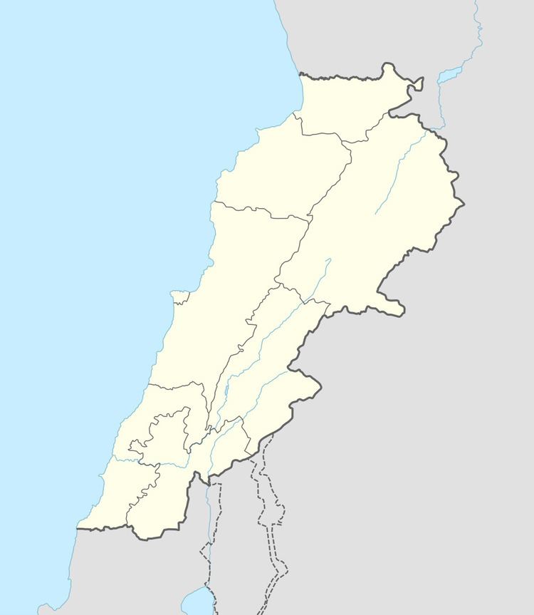 | ||
Blat (Arabic: بلاط) is a village in the Marjeyoun District in southern Lebanon, located just north of Marjeyoun.
Contents
Map of Blat, Lebanon
History
In 1596, it was named as a village, Balat, in the Ottoman nahiya (subdistrict) of Tibnin under the liwa' (district) of Safad, with a population of 56 households and 2 bachelors, all Muslim. The villagers paid a fixed tax-rate of 25 % on agricultural products, such as wheat, barley, olive trees, vineyards, goats, beehives; in addition to occasional revenues, a press for olive oil or grape syrup and a water mill; a total of 6,000 akçe.
References
Blat, Marjayoun Wikipedia(Text) CC BY-SA