
Opening date 1925 Height 14 m | Opened 1925 | |
 | ||
Similar Little Falls Dam, St Cloud Dam, Sartell Dam, Charles A Lindbergh State Park, Lock and Dam No 1 | ||
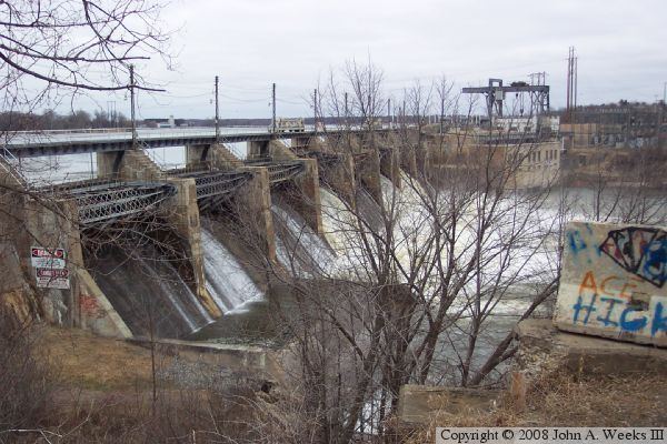
Blanchard Dam is a dam across the Mississippi River, in Bellevue Township and Swan River Township, Morrison County, near the city of Royalton, Minnesota. Blanchard is a hydroelectric station owned and operated by Minnesota Power. The dam sits slightly upriver from the former Soo Line rail bridge. The bridge now carries a recreational trail.
Map of Blanchard Dam, Royalton, MN 56373, USA
Blanchard Dam is the tallest dam on the Mississippi River at 47 feet of water head.
Because of its design, it provides the most accurate water flow statistics of the Mississippi in central Minnesota. Daily, monthly and yearly statistical data in cf/s (cubic feet per second) since 1924 are available at the United States Geological Survey website.
Blanchard Dam is also one of a very few known places on earth where Staurolite is found.