
Country United States Time zone CST (UTC-6) Elevation 157 m Local time Saturday 1:18 PM | Established November 5, 1861 ZIP codes 62426, 62443, 62858 Area 93.81 km² Population 636 (2010) | |
 | ||
Weather 16°C, Wind S at 16 km/h, 36% Humidity | ||
Blair Township is one of twelve townships in Clay County, Illinois, USA. As of the 2010 census, its population was 636 and it contained 268 housing units.
Contents
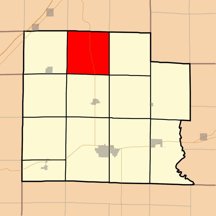
- Map of Blair Township IL USA
- Geography
- Unincorporated towns
- Cemeteries
- Major highways
- School districts
- Political districts
- References
Map of Blair Township, IL, USA
Geography
According to the 2010 census, the township (T5N R6E) has a total area of 36.22 square miles (93.8 km2), all land.
Unincorporated towns
(This list is based on USGS data and may include former settlements.)
Cemeteries
The township contains these eight cemeteries: Bethel, Conley, Connelly Family, Kincaid, Mascgher (Mascher) Family, Newton Chapel, Old Union and Ooten.
Major highways
School districts
Political districts
References
Blair Township, Clay County, Illinois Wikipedia(Text) CC BY-SA