Elevation 1,456 m | Time zone MST (UTC-7) Local time Saturday 10:49 AM | |
 | ||
Weather 12°C, Wind SW at 31 km/h, 23% Humidity | ||
Blacktail (also known as Black Tail) is a ghost town in Lawrence County, South Dakota, United States. The name was collected by the United States Geological Survey between 1976 and 1980, and entered into the Geographic Names Information System on February 13, 1980.
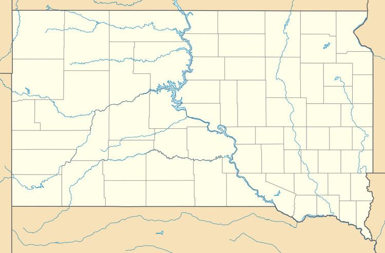
Map of Blacktail, SD 57754, USA
Blacktail was named for the black-tailed deer spotted by a settler near the town site. Blacktail was an early mining camp in which some of the Homestake Mine's mills operated. While the town flourished for a while, it eventually became a ghost town. It was located between Central City and Gayville, and in the area where Blacktail Gulch and Bobtail Gulch meet. The site has an elevation of 4,777 feet (1,456 m).
References
Blacktail, South Dakota Wikipedia(Text) CC BY-SA
