
Topo map USGS Chignik C-3 Last eruption 1900 BCE ± 150 years Volcanic arc Aleutian Arc | Elevation 1,032 m | |
 | ||
Similar Mount Kialagvik, Mount Emmons, Kookooligit Mountains, Yantarni Volcano, Mount Chiginagak | ||
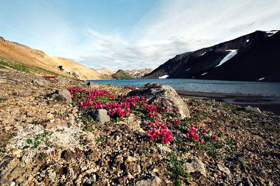
Black Peak is a highly eroded stratovolcano comprising a lava dome complex on the Alaska Peninsula of the U.S. state of Alaska. Also called Black Volcano or Sopka Chornaia, the mountain is located within the Lake and Peninsula Borough.
Map of Black Peak, Alaska, USA
The latest eruption from Black Peak less than 4,000 years ago produced an explosive eruption with a Volcanic Explosivity Index of 6 that created a caldera. Ash flow tuffs and block-and-ash-flow deposits from this explosive eruption traveled down the Ash Creek and Bluff Creek valleys that reach depths of 100 m (328 ft).
References
Black Peak (Alaska) Wikipedia(Text) CC BY-SA