
Topo map Big Horn Mountain Prominence 970 m | Elevation 3,213 m | |
 | ||
Similar Hilgard Peak, Sphinx Mountain, Granite Peak | ||
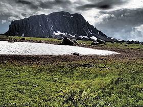
Black Butte, el. 10,542 feet (3,213 m) is the highest peak in the Gravelly Range in Madison County, Montana. The eastern base of the peak is less than 1 mile (1.6 km) from the Beaverhead-Deerlodge National Forest road #290 (Gravelly Range Road).
Map of Black Butte, Montana 59720, USA
References
Black Butte (Madison County, Montana) Wikipedia(Text) CC BY-SA