
Length 2.7 km (1.68 mi) Highest elevation 130 m (430 ft) | Area 3.8 km (1.5 sq mi) Width 2.5 km (1.55 mi) Highest point Sørfjellet | |
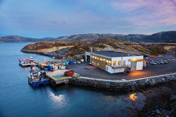 | ||
Bjørøya is an island in the Folda sea, just south of the Namsenfjorden in the municipality of Flatanger in Nord-Trøndelag county, Norway. The 3.8-square-kilometre (1.5 sq mi) island lies about 5 kilometres (3.1 mi) east of the island of Villa and about 5 kilometres (3.1 mi) north of the island of Lauvøya. The island has several large peat bogs as well as a farm. Ellingråsa Lighthouse is located on the northwest part of the island. There are currently no permanent residents of the island.
Map of Bj%C3%B8r%C3%B8ya, 7770 Flatanger, Norway
References
Bjørøya Wikipedia(Text) CC BY-SA