
Gmina Bisztynek Website Bisztynek.com Local time Thursday 10:30 PM | County Bartoszyce Postal code 11-230 Area 216 ha Population 2,493 (2006) | |
 | ||
Weather 2°C, Wind W at 27 km/h, 94% Humidity Voivodeship Warmian-Masurian Voivodeship | ||
Bisztynek [bʲiʂˈtɨnɛk] (German: Bischofstein) is a town in Bartoszyce County, Warmian-Masurian Voivodeship, Poland, with 2,555 inhabitants (2004).
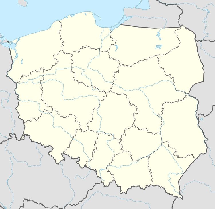
Map of Bisztynek, Poland
Before 1945 the area was part of Germany (East Prussia). After World War II the region was placed under Polish administration by the Potsdam Agreement under territorial changes demanded by the Soviet Union. Most Germans fled or were expelled and replaced with Poles expelled from the Polish areas annexed by the Soviet Union or forced to settle in the area through Operation Vistula in 1947.
References
Bisztynek Wikipedia(Text) CC BY-SA