
OS grid reference SU5056763502 Post town Newbury Dialling code 01635 | Sovereign state United Kingdom Postcode district RG20 District Basingstoke and Deane | |
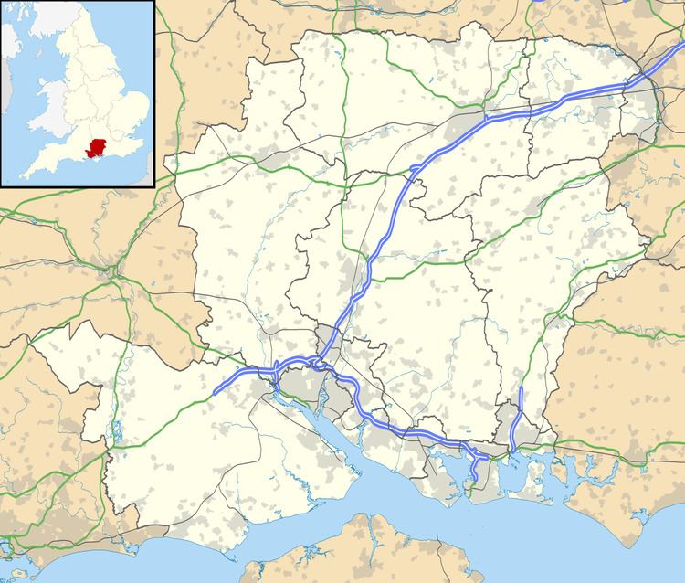 | ||
Bishops Green is a village in the English county of Hampshire, on the border with Berkshire.
Contents
Map of Bishop's Green, Thatcham, UK
History
Bishops Green expanded greatly during World War II, when the original few houses and farms were joined by the Eagle Road and Ashlands housing estates, both built for the nearby American air base of RAF Greenham Common. After the war a number of Nissen huts were used to re-home local families, these being replaced by 95 new houses by Basingstoke Rural District Council in the early 1950s. At the same time the United States Air Force (USAF) built new housing alongside this development, doubling the size of the estate. The base closed in 1992 and the USAF housing was transferred to Sovereign Housing Association. The original 95 council houses were transferred to Sentinel Housing Association in 1995 and were replaced by a new £20M development of 148 homes, named 'Woods End.' . The village has a shop, village hall and a camping site.
Governance
Bishops Green is part of the civil parish of Ecchinswell, Sydmonton and Bishops Green (where the 2011 Census population was included). This, in turn is part of the Burghclere, Highclere and St Mary Bourne ward of the district of Basingstoke and Deane. The borough council is a Non-metropolitan district of Hampshire County Council.