
Main source Passo della Scoffera Length 25 km Country Italy | Basin size 95 km (37 sq mi) Province Province of Genoa | |
 | ||
River mouth Ligurian Sea in Genoa (Italy)
0 m (0 ft) Discharge Average rate:
2.3 m/s (81 cu ft/s) | ||
The Bisagno (in Ligurian Besagno /beˈzaɲu/) is a 25-kilometre (16 mi) stream of Liguria (Italy).
Contents
Map of Torrente Bisagno, Genoa, Italy
Geography
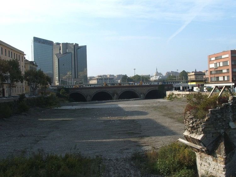
The river rises near Scoffera pass at around 600 m in the Ligurian Apennines. It flows south-west in the Bisagno Valley and receives its two main tributaries, called torrente Lentro (from the left hand) and torrente Canate (from the right hand). Heading south it reaches Genova and ends its course in the Ligurian Sea. The last part of its course, from Genova Brignole railway station to the mouth, has been transformed in a water tunnel.
Bisagno basin (95 km2) is totally included in the Province of Genova.
Main tributaries
History
The Département du Bisagne o Dipartimento del Bisagno of Ligurian Republic took its name at the end of the XVIII century from the stream.
References
Bisagno (stream) Wikipedia(Text) CC BY-SA