Country Ukraine Established 1785 Time zone EET (UTC+2) Area 2,765 km² Province Lviv Oblast | District Yavoriv Raion Elevation/(average value of) 292 m (958 ft) Postal code 81092 Local time Thursday 12:02 PM | |
 | ||
Weather 9°C, Wind SW at 21 km/h, 56% Humidity | ||
Birky (Ukrainian: Бі́рки, formerly known as Birky Yanivski (Ukrainian: Бірки Янівські) and Birky Dominikanski (Ukrainian: Бірки Домініканські) – a village (selo) in the Lviv Oblast (province), Yavoriv Raion of Western Ukraine. Population: 2203. Local government is administered by Birkivska Village Council.
Contents
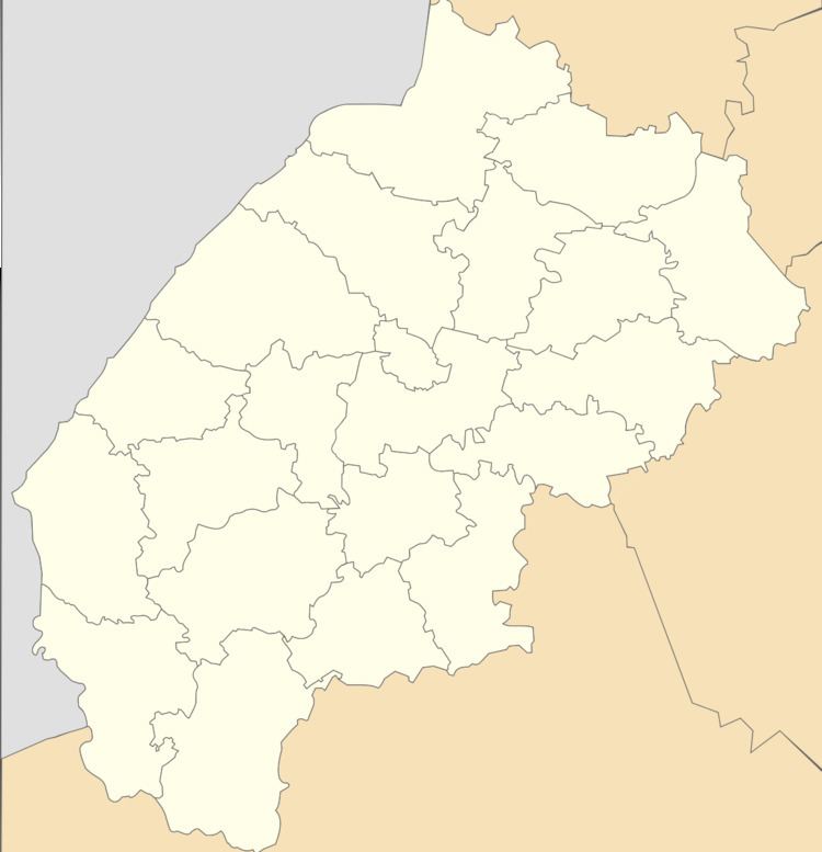
Map of Birky, Lvivska, Ukraine
Geography
Birky village is the most distant in Yavoriv district from the district center of Yavoriv (52 kilometres (32 mi)), but there are nearest from the regional center of Lviv (14 kilometres (8.7 mi)). A railway Lviv - Rava-Ruska there passes through the village.
History and religion
The settlements arose at the end of the XVIII century in the area, which was surrounded by hills. Originally have settled monastics of the Dominican Order. From this came the name of the village – Birky Dominikanski, name of the village, which was until 1947.
The first written mention of the village dates back to 1785.
In the village operates the Sts. Volodymyr and Olha Ukrainian Catholic Church, built in 2010.
