Established 1932 State electorate(s) North West Founded 1932 Local time Thursday 11:53 AM | Postcode(s) 6532 Elevation 247 m Postal code 6532 | |
 | ||
Location 35 km (22 mi) N of Northampton62 km (39 mi) SE of Kalbarri515 km (320 mi) NW of Perth Weather 33°C, Wind N at 13 km/h, 37% Humidity | ||
Binnu is a town on the North West Coastal Highway in the Mid West region of Western Australia.
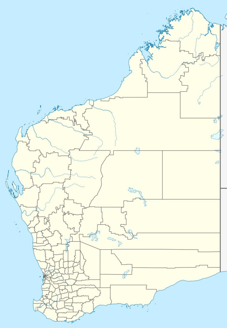
Map of West Binnu WA 6532, Australia
The name derives from a well on the outskirts of town that was first in use in 1909. The name is Indigenous Australian in origin and is thought to mean either to squeeze or place of emus. The townsite was gazetted in 1932.
The main industry in the area is agriculture, particularly the production of wheat and lupins. The town was gripped by a two-year drought from 2006 then had a bumper crop in 2008.
In 2009 up to 30% of crops were lost as a result of damage caused by a mouse plague. Sheep are also raised, particularly Merinos, although problems with salinity, erosion and drought are common.
The main industry in town is wheat farming with the town being a Cooperative Bulk Handling receival site.
