
Website www.co.bingham.id.us Founded 1885 | Area 5,491 km² Population 45,290 (2013) | |
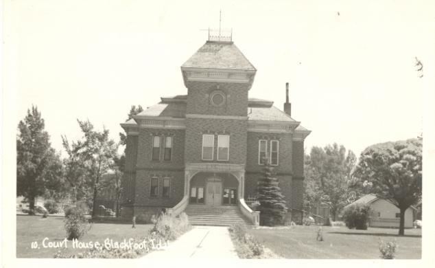 | ||
University College of Massage Therapy Points of interest | ||
Bingham County is a county located in the U.S. state of Idaho. As of the 2010 census, the population was 45,607. The county seat and largest city is Blackfoot.
Contents
- Map of Bingham County ID USA
- History
- Geography
- Adjacent counties
- Highways
- 2000 census
- 2010 census
- Cities
- Census designated places
- Unincorporated communities
- References
Map of Bingham County, ID, USA
Bingham County comprises the Blackfoot, ID Micropolitan Statistical Area, which is included in the Idaho Falls-Rexburg-Blackfoot, ID Combined Statistical Area.
History
Bingham County was created January 13, 1885, and named after Henry H. Bingham, a congressman from Pennsylvania and friend of William Bunn, Idaho's Territorial Governor. The county was formed from Oneida County and was later partitioned itself to form Bannock (1893), Fremont (1893), Bonneville (1911), Power (1913), and Butte (1917) counties.
Geography
According to the U.S. Census Bureau, the county has a total area of 2,120 square miles (5,500 km2), of which 2,094 square miles (5,420 km2) is land and 26 square miles (67 km2) (1.2%) is water. The Snake River flows southwest through the middle of Bingham County; at the county's southwest corner the river is the American Falls Reservoir. Smaller buttes called the East Butte and the Middle Butte located in the Snake River Plain are visible south of US Route 20.
Adjacent counties
Highways
2000 census
As of the census of 2000, there were 41,735 people, 13,317 households, and 10,706 families residing in the county. The population density was 20 people per square mile (8/km²). There were 14,303 housing units at an average density of 7 per square mile (3/km²). The racial makeup of the county was 82.43% White, 0.17% Black or African American, 6.70% Native American, 0.57% Asian, 0.03% Pacific Islander, 7.95% from other races, and 2.14% from two or more races. 13.30% of the population were Hispanic or Latino of any race. 23.6% were of English, 12.5% American, 8.9% German and 5.1% Danish ancestry according to Census 2000.
There were 13,317 households out of which 44.60% had children under the age of 18 living with them, 66.70% were married couples living together, 9.80% had a female householder with no husband present, and 19.60% were non-families. 17.10% of all households were made up of individuals and 7.70% had someone living alone who was 65 years of age or older. The average household size was 3.10 and the average family size was 3.52.
In the county, the population was spread out with 34.90% under the age of 18, 9.70% from 18 to 24, 25.30% from 25 to 44, 19.70% from 45 to 64, and 10.30% who were 65 years of age or older. The median age was 30 years. For every 100 females there were 100.00 males. For every 100 females age 18 and over, there were 97.90 males.
The median income for a household in the county was $36,423, and the median income for a family was $40,312. Males had a median income of $31,950 versus $21,591 for females. The per capita income for the county was $14,365. About 9.90% of families and 12.40% of the population were below the poverty line, including 16.30% of those under age 18 and 7.20% of those age 65 or over.
2010 census
As of the 2010 United States Census, there were 45,607 people, 14,999 households, and 11,731 families residing in the county. The population density was 21.8 inhabitants per square mile (8.4/km2). There were 16,141 housing units at an average density of 7.7 per square mile (3.0/km2). The racial makeup of the county was 80.6% white, 6.5% American Indian, 0.6% Asian, 0.2% black or African American, 0.1% Pacific islander, 9.8% from other races, and 2.1% from two or more races. Those of Hispanic or Latino origin made up 17.2% of the population. In terms of ancestry, 22.3% were English, 12.7% were German, 5.9% were American, and 5.0% were Irish.
Of the 14,999 households, 43.6% had children under the age of 18 living with them, 62.4% were married couples living together, 10.5% had a female householder with no husband present, 21.8% were non-families, and 18.5% of all households were made up of individuals. The average household size was 3.02 and the average family size was 3.45. The median age was 31.8 years.
The median income for a household in the county was $44,128 and the median income for a family was $51,750. Males had a median income of $39,703 versus $25,815 for females. The per capita income for the county was $18,633. About 13.2% of families and 14.7% of the population were below the poverty line, including 18.4% of those under age 18 and 10.5% of those age 65 or over.