
Time zone WAT (UTC+1) Area 398 km² | Established 1989 [1] 3-digit postal code prefix 822 Local time Thursday 3:36 AM | |
 | ||
Weather 21°C, Wind E at 8 km/h, 23% Humidity | ||
Bindawa is a Local Government Area in Katsina State, Nigeria. Its headquarters are in the town of Bindawa in the west of the area at12°40′11″N 7°48′19″E.
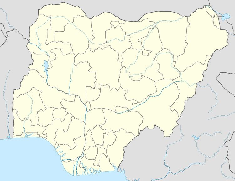
Map of Bindawa, Nigeria
It has an area of 398 km² and a population of 152,356 at the 2006 census.
It is a home to secondary school:
The postal code of the area is 822.
References
Bindawa Wikipedia(Text) CC BY-SA