
Country Burma Time zone MST (UTC+6.30) | Local time Thursday 3:47 AM | |
 | ||
Weather 23°C, Wind E at 2 km/h, 71% Humidity | ||
Bilin (Burmese: ဘီးလင်းမြို့; Mon: ၜဳက္လေၚ်) is a town in the Mon State of south-east Myanmar. It is the seat of Bilin Township. The Yangon-Mawlamyine Highway passes through Belin. The nearby Belin River flows into the Gulf of Martaban. The majority of residents are Bamar, and there are also members of the Kayin and Pa-O ethnic groups. The majority of people are Buddhist. Belin Township is home to the famous Kyaikhteesaung Pagoda located on a laterite stone hillock near Zoke Thoke village. The hillock itself was formed by laying laterite stones in squares of diminishing size on top of each other.
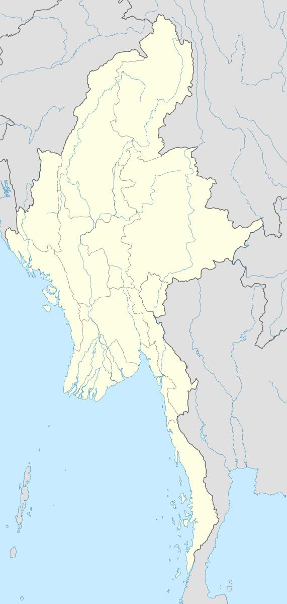
Map of Bilin, Myanmar (Burma)
References
Bilin, Mon State Wikipedia(Text) CC BY-SA