
Population 1,961 (2011) | Time zone CET (UTC+1) | |
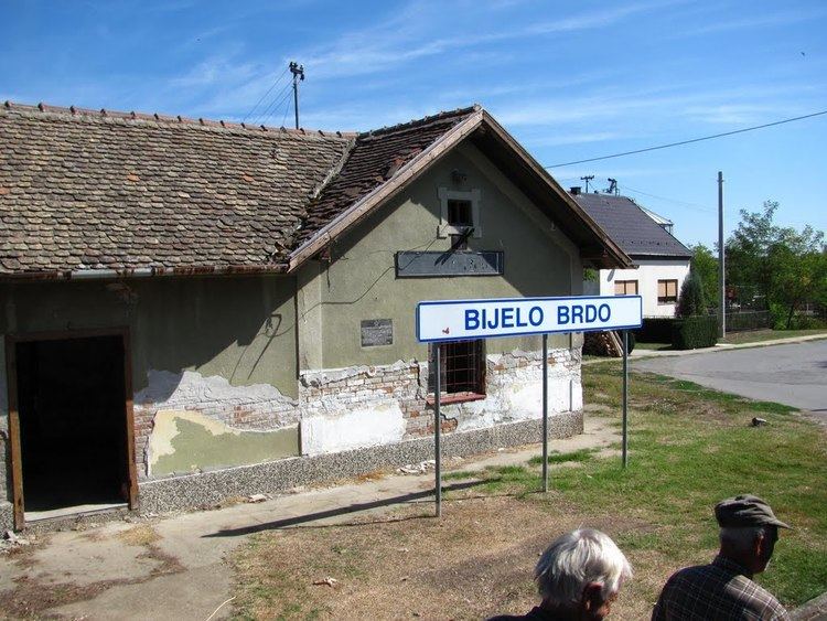 | ||
Bijelo Brdo (Serbian Cyrillic: Бијело Брдо) is a village in the Erdut municipality in eastern Croatia. It is connected by the D213 road and by R202 railway. It has a total of 1,961 inhabitants (2011).
Contents
Map of Bijelo Brdo, Croatia
Geography
The village is situated 15 km east from Osijek, in the historical Slavonia region. It is near the border with Serbia.
History
93 native families were relocated from Osijek and the neighbouring villages of Dalj and Bijelo Brdo, first to Bosnia and then to Serbia, by the Croatian State during World War II. Their houses were settled with Croats from Dalmatia.
Culture
Demographics
The 2011 census had a total of 1,961 inhabitants. The 2001 census had a total of 2,119 inhabitants in 720 households. 1991 census, a total of 2,400 inhabitants, out of which Serbs 1,941 (80.87%), Croats 217 (9.04%), Yugoslavs 97 (4.04%), and other smaller communities.