
Location Apache County, Arizona Surface area 450 acres (180 ha) Surface elevation 2,743 m Mean depth 4.88 m | Basin countries United States Average depth 16 ft (4.9 m) Area 182 ha | |
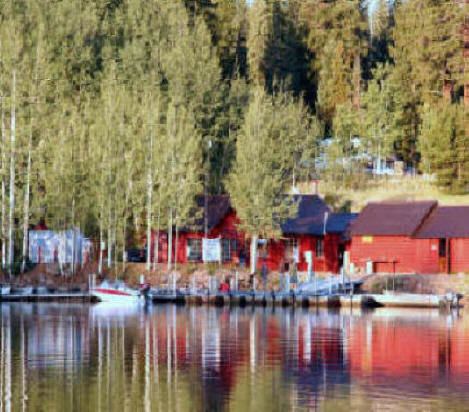 | ||
Big Lake is considered one of the White Mountains' best fishing lakes, because of its size, productivity and visitor amenities. As with most trout waters in Arizona, catch rates are best in spring, during late April and May after the winter ice thaws, and get better later in the summer and into fall until the lake freezes over again in late November. Big Lake is in Apache County and is managed by the Apache-Sitgreaves National Forest.
Contents
Map of Big Lake, Arizona 85927, USA
LocationEdit
Situated at 9,000 feet (2,700 m) in the Apache-Sitgreaves National Forests, Big Lake is about 26 miles (42 km) south of Springerville and Eagar, accessed by paved road via Highways 260 and 261, and is approximately one hour’s drive from Pinetop using Highways 260 and 273 and Forest Road 113. Access is restricted in the winter when roads are closed due to snow, generally December to early April. In January, the normal high temperature is 44 °F (7 °C) with a normal low temperature of 14 °F (−10 °C). In July, the normal high temperature is 75 °F (24 °C) with a normal low temperature of 45 °F (7 °C).
DescriptionEdit
Big Lake has 680 acres (280 ha), with an average depth of 30 feet (9.1 m). Primary fish species here include rainbow, brook and cutthroat trout, with an occasional Brown trout. Each year, the Department stocks an average of 480,000 fingerling (three inch) and 50,000 subcatchable (six inch) trout. Most of these are rainbows.