
Country Swaziland Climate BSh Local time Wednesday 2:51 PM | District Lubombo Elevation 108 m Number of airports 1 | |
 | ||
Weather 33°C, Wind E at 11 km/h, 53% Humidity | ||
Outdoor cooking area in big bend swaziland
Big Bend is a town in eastern Swaziland, lying on the Lusutfu River. Its main industry is based on sugar plantations.
Contents
- Outdoor cooking area in big bend swaziland
- Map of Big Bend Swaziland
- Landing at big bend swaziland
- Schools
- References
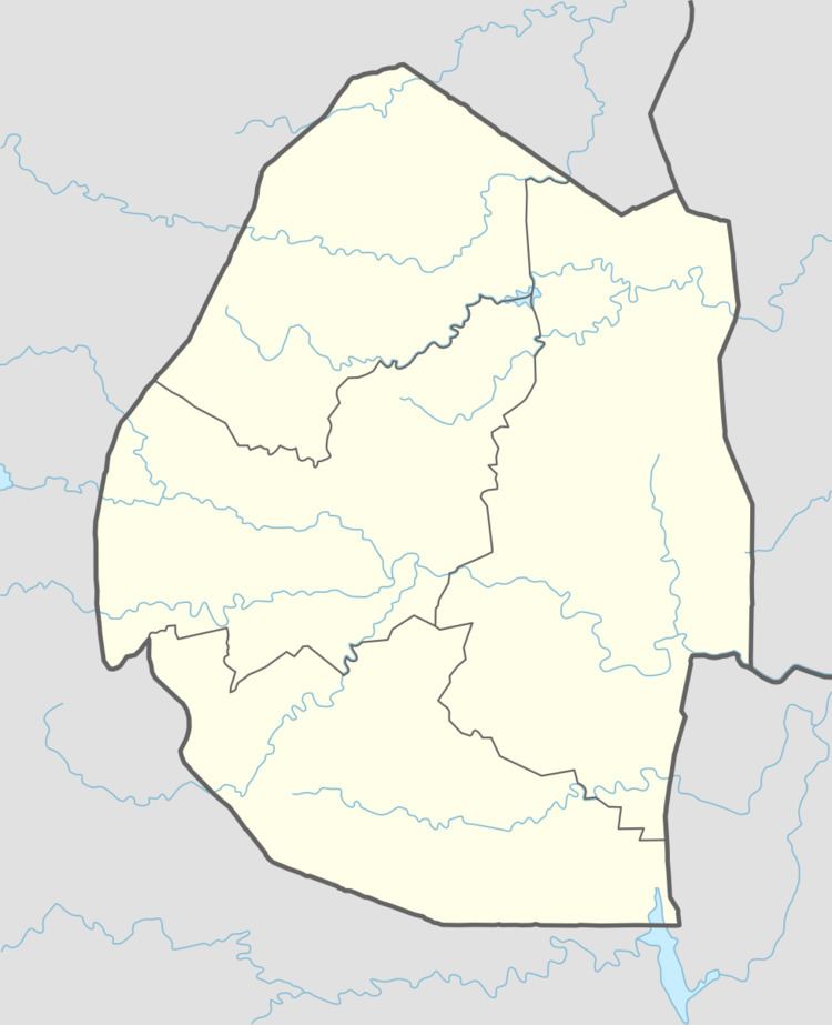
Map of Big Bend, Swaziland
Landing at big bend swaziland
Schools
The Edu-care Centre is a preschool which caters to Swazi and expatriate children. Ubombo Primary School and Sisekelo High School are both located in Big Bend. They were established in the late 1970s and have pioneered the high level of teaching excellence in the kingdom that paved the way for other schools to follow.
References
Big Bend, Swaziland Wikipedia(Text) CC BY-SA