
Lowest elevation 180 m (590 ft) Local time Wednesday 6:52 AM | Highest elevation 203 m (666 ft) Population 300 | |
 | ||
Weather 6°C, Wind SW at 21 km/h, 70% Humidity Voivodeship | ||
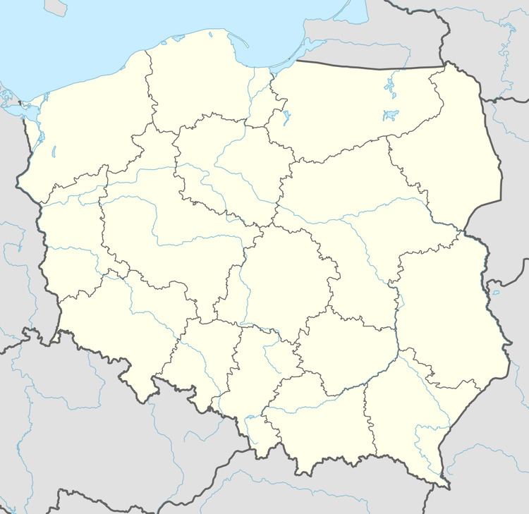
Biały Kościół [ˈbjawɨ ˈkɔɕt͡ɕuu̯] (German: Steinkirche) is a village in the administrative district of Gmina Strzelin, within Strzelin County, Lower Silesian Voivodeship, in south-western Poland. It lies approximately 7 kilometres (4 mi) south of Strzelin, and 44 kilometres (27 mi) south of the regional capital Wrocław.
Map of Bia%C5%82y Ko%C5%9Bci%C3%B3%C5%82, Poland
Prior to 1945 it was in Germany. After World War II the region was placed under Polish administration and ethnically cleansed according to the post-war Potsdam Agreement. The native German populace was expelled and replaced with Poles.
The village has a population of 300.
References
Biały Kościół, Lower Silesian Voivodeship Wikipedia(Text) CC BY-SA