
Local time Wednesday 6:44 AM | Population 110 | |
 | ||
Weather 3°C, Wind SW at 16 km/h, 84% Humidity Voivodeship | ||
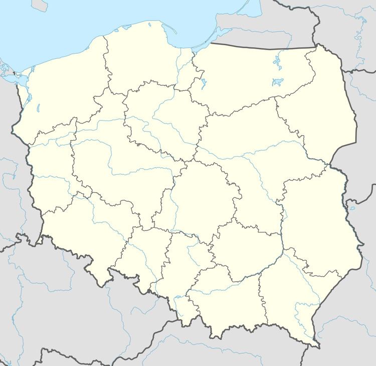
Białobłocie [bjawɔˈbwɔt͡ɕe] (German: Hüttenbusch) is a village in the administrative district of Gmina Lipka, within Złotów County, Greater Poland Voivodeship, in west-central Poland. It lies approximately 8 kilometres (5 mi) east of Lipka, 26 km (16 mi) north-east of Złotów, and 125 km (78 mi) north of the regional capital Poznań.
Map of Bia%C5%82ob%C5%82ocie, Poland
Before 1772 the area was part of Kingdom of Poland, 1772-1945 Prussia and Germany. For more on its history, see Złotów County.
The village has a population of 110.
References
Białobłocie, Greater Poland Voivodeship Wikipedia(Text) CC BY-SA