
Gmina Lubomino Local time Wednesday 6:32 AM | Population 160 | |
 | ||
Weather 3°C, Wind S at 13 km/h, 98% Humidity Voivodeship Warmian-Masurian Voivodeship | ||
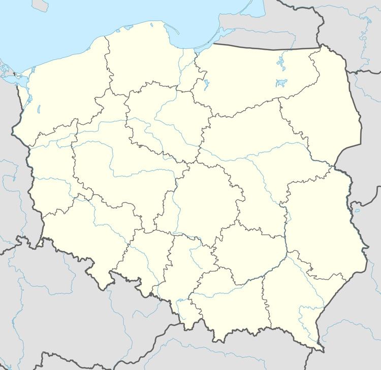
Biała Wola [ˈbjawa ˈvɔla] is a village in the administrative district of Gmina Lubomino, within Lidzbark County, Warmian-Masurian Voivodeship, in northern Poland. It lies approximately 27 kilometres (17 mi) west of Lidzbark Warmiński and 35 km (22 mi) north-west of the regional capital Olsztyn.
Map of Bia%C5%82a Wola, Poland
Before 1772 the area was part of the Kingdom of Poland, 1772-1945 Prussia and Germany (East Prussia).
The village has a population of 160.
References
Biała Wola Wikipedia(Text) CC BY-SA