 | ||
Similar Bangladesh–India border , Line of Actual Control , Line of Control | ||
Bhutan india border top 7 facts
The Bhutan-India Border is the international boundary between the Kingdom of Bhutan and the Republic of India. The border is 699 km long, and adjoins the Indian states of Assam (267 km), Arunachal Pradesh (217 km), West Bengal (183 km), and Sikkim (32 km).
The Treaty of Peace between Britain and Bhutan demarcated the border in 1865, following the Bhutan War. The boundary was further detailed and refined in the 1973-1984 period through talks between Bhutan and India. Remaining disputes have been minor and concern part of the border with Arunachal Pradesh, and the region between Sarbhang and Geylegphug.
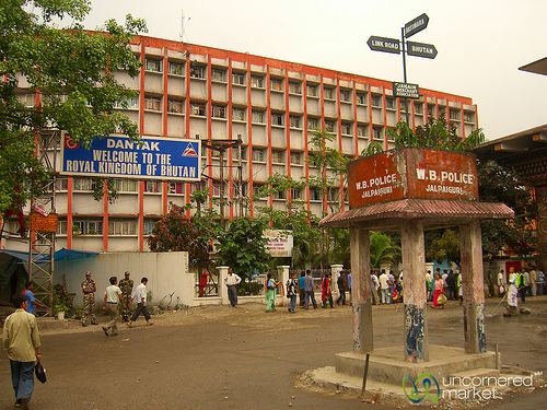
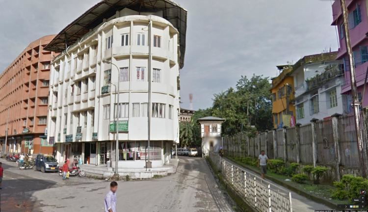
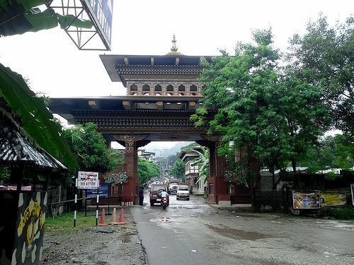
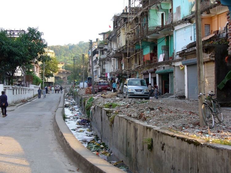
The border between Bhutan and India is the only land access into entering Bhutan, as the border with China is completely closed. The single entry point for foreign nationals is between the towns of Jaigaon in the Indian state of West Bengal and Phuntsholing, in South West Bhutan.
The Indian government deploys 12 battalions of Sashastra Seema Bal (SSB), and 132 border posts, to guard the border on its side. The bilateral Indian-Bhutan Group Border Management and Security has been established to collaboratively assess and secure the border between the two countries.