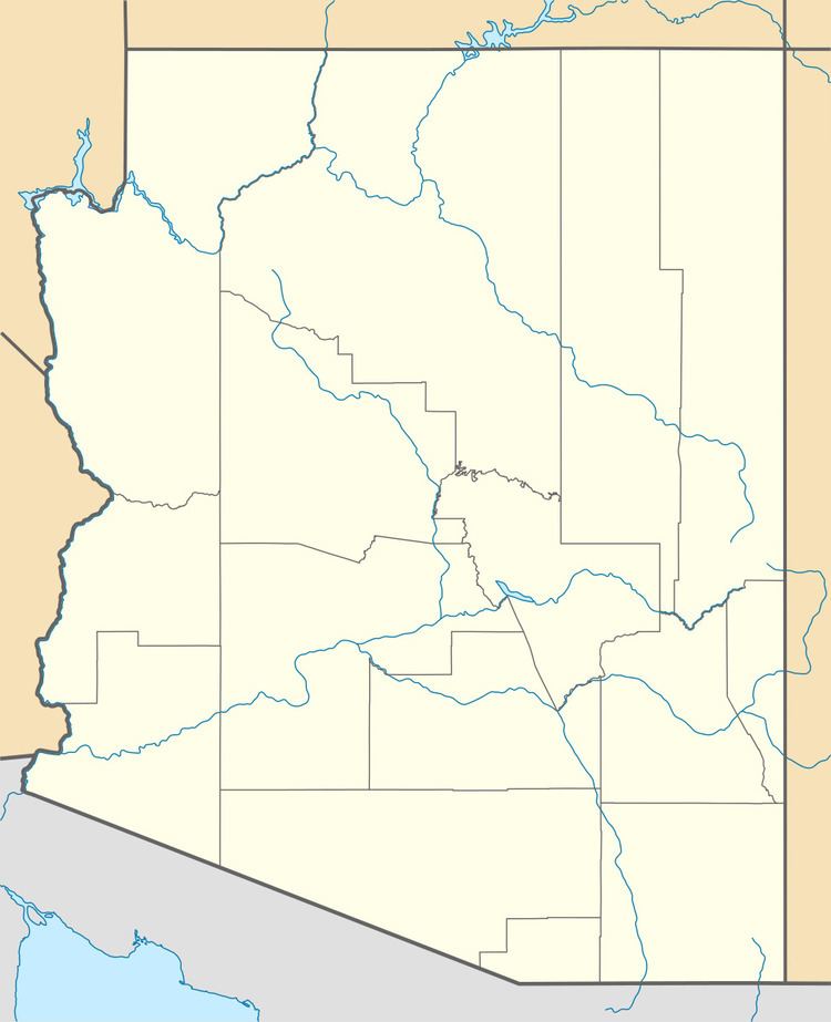
GNIS feature ID 0036551 Area 90 ha Area code 520 | FIPS code 04-05970 Elevation 1,112 m Population 177 (2010) | |
 | ||
Time zone MST (no daylight saving time) (UTC-7) | ||
Beyerville is a census-designated place (CDP) in Santa Cruz County, Arizona, United States. The population was 177 at the 2010 census.
Contents
Map of Beyerville, AZ 85621, USA
Geography
Beyerville is located at 31°23′25″N 110°52′42″W, along the Santa Cruz River. Arizona State Route 82 passes through the community, leading southwest 4 miles (6 km) to Nogales and northeast 14 miles (23 km) to Patagonia and 26 miles (42 km) to Sonoita.
According to the United States Census Bureau, the CDP has a total area of 0.35 square miles (0.9 km2), all of it land.
References
Beyerville, Arizona Wikipedia(Text) CC BY-SA
