
OS grid reference NY210348 Post town COCKERMOUTH Dialling code 017687 | Sovereign state United Kingdom Local time Monday 3:39 AM | |
 | ||
Civil parish Bewaldeth and Snittlegarth Weather 5°C, Wind SW at 6 km/h, 87% Humidity | ||
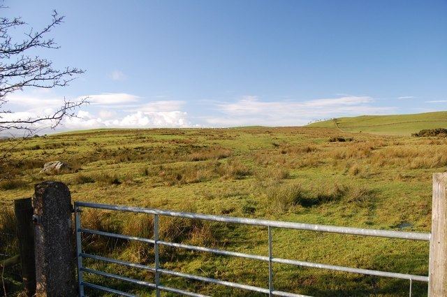
Bewaldeth and Snittlegarth is a civil parish in the Allerdale district of Cumbria, England, on the edge of the Lake District. According to the 2001 census it had a population of 40 who live in 1,534 acres (621 ha). At the 2011 Census it was measured that the population was still less than 100. Details are maintained in the parish of Ireby and Uldale. It contains Bewaldeth at 54°42′06″N 3°13′30″W, High Bewaldeth at 54°41′47″N 3°12′17″W and Snittlegarth at 54°43′46″N 3°12′49″W.
Map of Bewaldeth and Snittlegarth, UK
According to Bulmer's History & Directory Of Cumberland (1901), "Snittlegarth ... is supposed to have been formerly a village of considerable magnitude. The word "Snittlegarth" is thought to signify an enclosure."
References
Bewaldeth and Snittlegarth Wikipedia(Text) CC BY-SA