
Country United States Time zone CST (UTC-6) Elevation 242 m Local time Sunday 9:24 PM | Established November 6, 1849 ZIP codes 62312, 62314, 62347 Area 94.97 km² Population 406 (2010) | |
 | ||
Weather 12°C, Wind S at 27 km/h, 74% Humidity | ||
Beverly Township is one of twenty-two townships in Adams County, Illinois, USA. As of the 2010 census, its population was 406 and it contained 187 housing units.
Contents
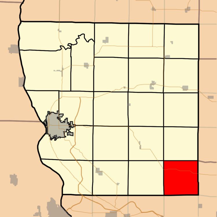
- Map of Beverly Township IL USA
- Geography
- Unincorporated towns
- Cemeteries
- Major highways
- School districts
- Political districts
- References
Map of Beverly Township, IL, USA
Geography
According to the 2010 census, the township has a total area of 36.67 square miles (95.0 km2), of which 36.61 square miles (94.8 km2) (or 99.84%) is land and 0.05 square miles (0.13 km2) (or 0.14%) is water.
Unincorporated towns
(This list is based on USGS data and may include former settlements.)
Cemeteries
The township contains seven cemeteries: Allen Family, Old Beverly, Kingston, Mayfield Family, Mixer Family, Mound Prairie and Rubart.
Major highways
School districts
Political districts
Geography
According to the 2010 census, the township has a total area of 36.67 square miles (95.0 km2), of which 36.61 square miles (94.8 km2) (or 99.84%) is land and 0.05 square miles (0.13 km2) (or 0.14%) is water.