
Zip code 21214 Population 791 (2009) | Time zone Eastern (UTC-5) Area 34 ha Local time Sunday 10:19 PM | |
 | ||
Weather -1°C, Wind N at 2 km/h, 48% Humidity | ||
Beverly Hills is a neighborhood in the Northeast District of Baltimore, located between the neighborhoods of Moravia-Walther, Arcadia and Lauraville. Its boundaries are drawn by Harford Road (west), Weaver Avenue (south), Harcourt Road (east), Moravia Road (northeast) and Grindon Avenue (north).
Contents
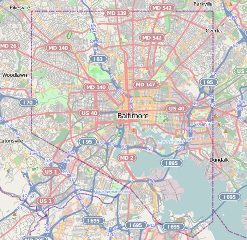
Map of Beverly Hills, Baltimore, MD 21214, USA
Most of the homes in Beverly Hills were built in 1929. The Beverly Hills Improvement Association was established during the same year to represent the interests of the neighborhood's residents.
Demographics
About two-thirds of the neighborhood's population is white and one-third black. With a median income of $63,508 estimated for 2009, Beverly Hills has fared well economically when compared with the city median of $38,772. Only 9.8 percent of its residents lived below the poverly level in 2009, while 22.9 percent of Baltimore's residents lived below the poverty line.
Public services
The nearest public school is Hamilton Elementary/Middle School.
Route 19 (MTA Maryland) provides local and express bus service to Downtown Baltimore along Harford Road.
Local bus Route 33 (MTA Maryland) stops along Moravia Road as it travels between Moravia, on the east side of Baltimore, and the Rogers Avenue Metro Station, on the west side of the city.