
Unitary authority Postcode district BN2 Local time Monday 2:49 AM UK parliament constituency Brighton Kemptown | Sovereign state United Kingdom Dialling code 01273 Post town Brighton | |
 | ||
Weather 6°C, Wind W at 18 km/h, 83% Humidity | ||
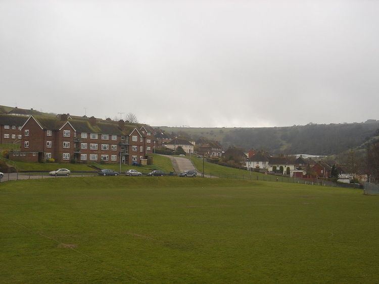
Bevendean is a district of the city of Brighton and Hove, in East Sussex, England.
Map of Bevendean, Brighton, UK
The estate lies to the north-east of central Brighton, and was largely developed after World War II with a mixture of council housing and private development. A large proportion of the council houses are now privately owned. The area has limited local facilities and there is only one road access route into and out of the area.
The manor of Bevendean was recorded in the Domesday Book of 1086. The name is derived from 'Beofa's valley'. It was later divided into two estates, Upper Bevendean on the hill and Lower Bevendean in the valley. Some housing development began in the 1930s, with the population expanding rapidly from 1948 onwards. An industrial estate was developed from the mid-1950s.
The local church is the Church of the Holy Nativity, built in 1963 as a Modern-style building in brick by architect Reginald Melhuish, ARIBA. The local school is Bevendean Primary School, a community school that educates children from the range of 3 to 11.
The Bevy opened on 12 December 2014 making it the first co-operative pub on a housing estate in the UK.