
Zip code 21218 | Time zone Eastern (UTC-5) Area 71 ha Population 3,650 (2010) | |
 | ||
Restaurants Georgia Soul Food, Cafe 1137 Express, Friendly Fried Chicken, Gorsuch Deli, Lady D's Cafe | ||
Better Waverly is a neighborhood in the North District of Baltimore, located between the neighborhoods of Charles Village (west) and Coldstream-Homestead-Montebello (east). Its boundaries are marked by East 33rd Street (north), East 25th Street (south), Greenmount Avenue (west) and Loch Raven Road (east).
Contents
- Map of Better Waverly Baltimore MD 21218 USA
- Demographics
- Victorian village
- Public transportation
- References
Map of Better Waverly, Baltimore, MD 21218, USA
The neighborhoods of Better Waverly (south of 33rd Street) and Waverly (north of 33rd Street, also known as Waverly-north) take their names from the Sir Walter Scott's first novel, Waverly. Better is from the adverb "better", meaning greater or larger.
Baltimore's former Memorial Stadium was originally located on the opposite side of East 33rd Street from Better Waverly, until the structure was demolished on February 15, 2002. At Mile 22, also known as the "Eddie Murray Mile", the Baltimore Marathon passes through Better Waverly.
Demographics
Approximately three quarters of Better Waverly population is black; whites comprise almost one quarter. Median household income for the neighborhood was estimated at $33,693 in 2011, somewhat below the city-wide median of $38,721. Residents of Better Waverly living below the poverty level were measured at 39.9% in 2010, significantly greater than the city-wide rate of 25.1%.
Victorian village
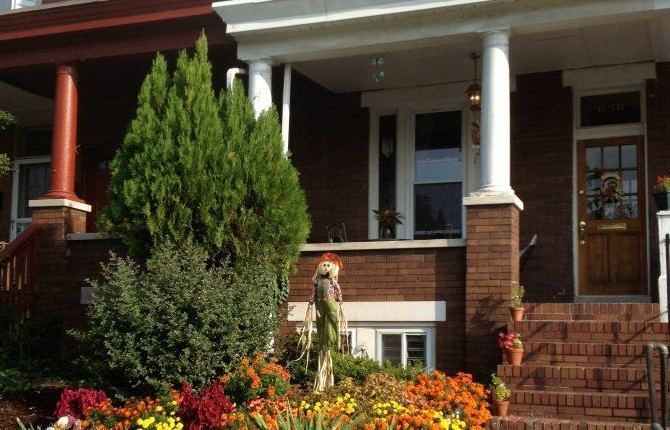
In the mid-19th century, wealthy merchants built a Victorian village along Old York Road in the area that became Better Waverly. The village had its own town hall at the site currently occupied by North Side Bar & Grill. This area is listed in the National Register of Historic Places as the Waverly Main Street Historic District. Located in Better Waverly between Greenmount Avenue (west) and Ellerslie Avenue (east), it extends north to include all of the neighborhood of Waverly (also known as Waverly-north).
Public transportation
Quickbus Route 48 (MTA Maryland) stops at East 33rd Street along Greenmount Avenue while traveling between Towson Town Center and the University of Maryland.
Local bus Route 8 (MTA Maryland) and Route 12 (MTA Maryland) have stops along Greenmount Avenue.
Local bus Route 3 (MTA Maryland) provides service along Loch Raven Road, traveling between Sheppard Pratt Hospital and the Inner Harbor.