
Area rank 40 of 105 Lowest elevation 180 m (590 ft) Area 23.24 km² Lau 2 02002 | Canton Diekirch Highest elevation 422 m (1,385 ft) Time zone CET (UTC+1) Local time Monday 1:29 AM | |
 | ||
Weather 4°C, Wind SW at 24 km/h, 89% Humidity | ||
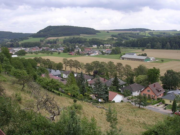
Bettendorf (Luxembourgish: Bettenduerf) is a commune and town in eastern Luxembourg. It lies along the river Sauer. It is part of the canton of Diekirch, which is part of the district of Diekirch.
Map of Bettendorf, Luxembourg
As of 2001, the town of Bettendorf itself, which lies in the centre of the commune, has a population of 1,045. Other towns within the commune include Bleesbruck, Gilsdorf and Moestroff.
The privately owned Bettendorf Castle dates from 1728 and is built in the Baroque style.
References
Bettendorf, Luxembourg Wikipedia(Text) CC BY-SA