
Country United States Time zone Eastern (EST) (UTC-5) GNIS feature ID 1085850 Local time Sunday 6:09 PM | FIPS code 39-06054 Elevation 267 m Population 18,523 (2010) | |
 | ||
Website www.betheltownship.info Weather 15°C, Wind SE at 13 km/h, 32% Humidity Area 98.68 km² (97.38 km² Land / 129 ha Water) Points of interest George Rogers Clark Park, Clark County Park Distr, Estel Wenrick Wetlands | ||
Bethel Township is one of the ten townships of Clark County, Ohio, United States. The 2010 census reported 18,523 people living in the township, 12,440 of whom were in the unincorporated portions of the township.
Contents
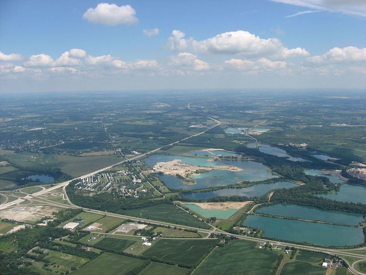
Map of Bethel Township, OH, USA
Geography
Located in the southwestern corner of the county, it borders the following townships and city:
It is the only township in the county with a border on Montgomery County. The Mad River, a southwest-flowing tributary of the Great Miami River, forms the southeast border of the township.
Several populated places are located in Bethel Township:
Name and history
Statewide, other Bethel Townships are located in Miami and Monroe counties.
Government
The township is governed by a three-member board of trustees, who are elected in November of odd-numbered years to a four-year term beginning on the following January 1. Two are elected in the year after the presidential election and one is elected in the year before it. There is also an elected township fiscal officer, who serves a four-year term beginning on April 1 of the year after the election, which is held in November of the year before the presidential election. Vacancies in the fiscal officership or on the board of trustees are filled by the remaining trustees.
The board is composed of David Phares (Chairman), Don Minton, and Nancy Brown. The fiscal officer is Melanie Cochran.