
Population 4,590 (2011 census) Local time Monday 8:39 AM | Postcode(s) 4205 Postal code 4205 | |
 | ||
Location 30 km (19 mi) from Brisbane CBD Weather 27°C, Wind S at 5 km/h, 62% Humidity | ||
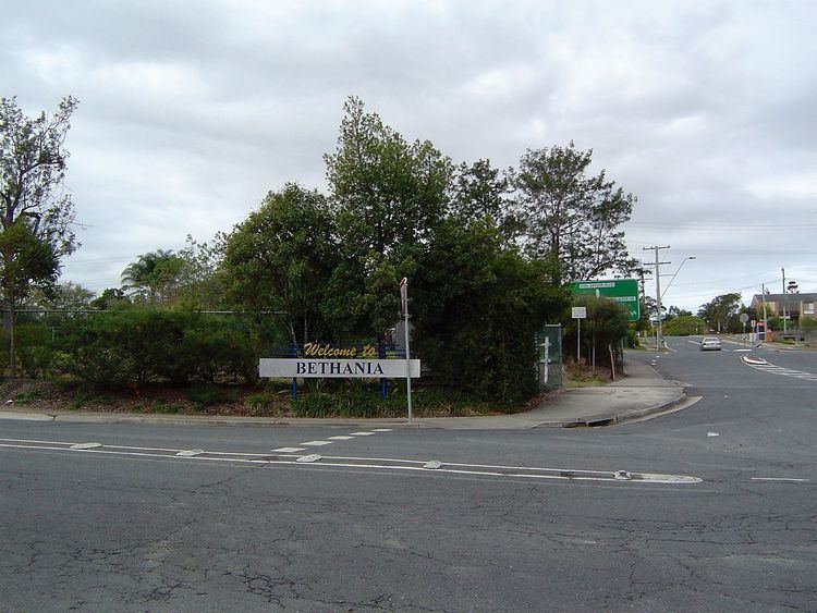
Bethania is a suburb of Logan City, Queensland, Australia. It is situated on the main Beenleigh railway line and lies south of the Logan River. It occasionally suffers floods.
Contents
Map of Bethania QLD 4205, Australia
A separate branch railway leaves the South Coast railway line at Bethania and runs to Beaudesert. It has been out of commission since August 2004.
Demographics
In the 2011 census, Bethania recorded a population of 4,590 people, 53.3% female and 46.7% male. The median age of the Bethania population was 41 years, 4 years above the national median of 37. 68.7% of people living in Bethania were born in Australia. The other top responses for country of birth were England 6.6%, New Zealand 6%, Scotland 1.4%, Philippines 0.9%, Germany 0.9%. 86.9% of people spoke only English at home; the next most common languages were 0.8% Spanish, 0.5% German, 0.5% Hindi, 0.4% Tagalog, 0.3% Samoan.
History
Bethania was founded by Germans during the 1860s and is home to many different nationalities. By 1866 a small township had developed. It is believed the name is derived from Bethany, the biblical village in Israel.
A Lutheran church was built in 1864 made from slabs on what is now the railway line. A cemetery was established beside the church with graves from 1866. In 1872 the present church was built close to the first church (27.691361°S 153.161392°E / -27.691361; 153.161392 (Bethania Lutheran Church)). The road to the church became known as Church Road.
The first railway bridge was destroyed by flood in 1887. A new concrete, steel and timber bridge lasted until 1972 when it was replaced by a pre-stressed concrete bridge.
The suburb was affected badly by the 1974 Brisbane flood. Duck Island became part of the suburb when part of the river was silted up. Sand and gravel has been mined from the alluvial deposits in recent years.
Heritage listings
Bethania has a number of heritage-listed sites, including:
Education
Bethania has one school, Bethania Lutheran Primary School, which opened on 27 January 1976.
Transport
Bethania railway station provides access to regular Queensland Rail City network services to Brisbane and Beenleigh.