
Population 176 (2011 census) Postal code 3304 | Postcode(s) 3304 Local time Monday 6:31 AM | |
 | ||
Location 311 km (193 mi) W of Melbourne70 km (43 mi) NW of Warrnambool49 km (30 mi) NE of Portland17 km (11 mi) S of Macarthur Weather 16°C, Wind SE at 18 km/h, 72% Humidity | ||
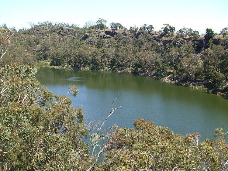
Bessiebelle is a locality in western Victoria, Australia. The locality is in the Shire of Moyne local government area, in what is commonly known as the Western District. Besiebelle is in the County of Normanby cadastral division, approximately 311 kilometres (193 mi) west of the state capital, Melbourne, on the Eumeralla River adjacent to the Mount Eccles National Park.
Map of Bessiebelle VIC 3304, Australia
At the 2006 census the population of Bessiebelle was 195, but at the 2011 census the population of Bessiebelle was 176.
The locality has an active CFA Branch.
References
Bessiebelle Wikipedia(Text) CC BY-SA