
Country United States County Cook ZIP codes 60402 Elevation 186 m Local time Saturday 7:15 PM | State Illinois Time zone CST (UTC-6) GNIS feature ID 0428666 Zip code 60402 Population 56,657 (2010) | |
 | ||
Weather 2°C, Wind E at 27 km/h, 65% Humidity | ||
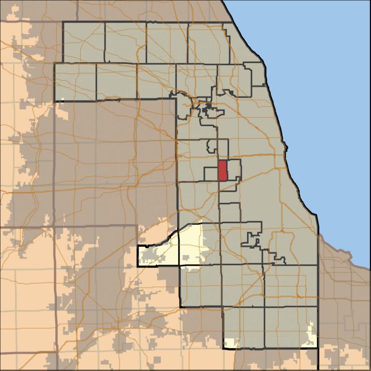
Berwyn Township is one of 29 townships in Cook County, Illinois, USA. As of the 2010 census, its population was 56,657. It is coterminous with the city of Berwyn.
Contents
Map of Berwyn Township, IL 60402, USA
Berwyn Township, with a population of 56,657 (2010 census) and over 22,000 households includes the area bounded on the north by Roosevelt Road, on the south by Pershing Road (39th Street), on the east by Lombard Avenue (west side of the street only), and on the west by Harlem Avenue (east side of the street only).
Berwyn Township was established by the Illinois Legislature in 1922 as one of the few coterminous townships in the state. The Berwyn Public Health District was established at the same time. Please note that the Township and the Berwyn Public Health District are two separate and distinct governmental bodies with separate governing Boards. The Township and Public Health District moved to their present headquarters at 6600 W. 26th Street in 1939. Built for $50,000, construction of the building was made possible by federal grants under the Works Progress Administration (WPA).
Geography
According to the United States Census Bureau, Berwyn Township covers an area of 3.9 square miles (10.1 km2), all of it land.