
Country Belgium Area codes 016 - 02 Area 29.75 km² Local time Sunday 1:08 AM | Postal codes 3060, 3061 Website www.bertem.be Population 9,215 (1 Jan 2006) | |
 | ||
Weather 7°C, Wind S at 23 km/h, 92% Humidity Governing party Socialistische Partij Anders | ||
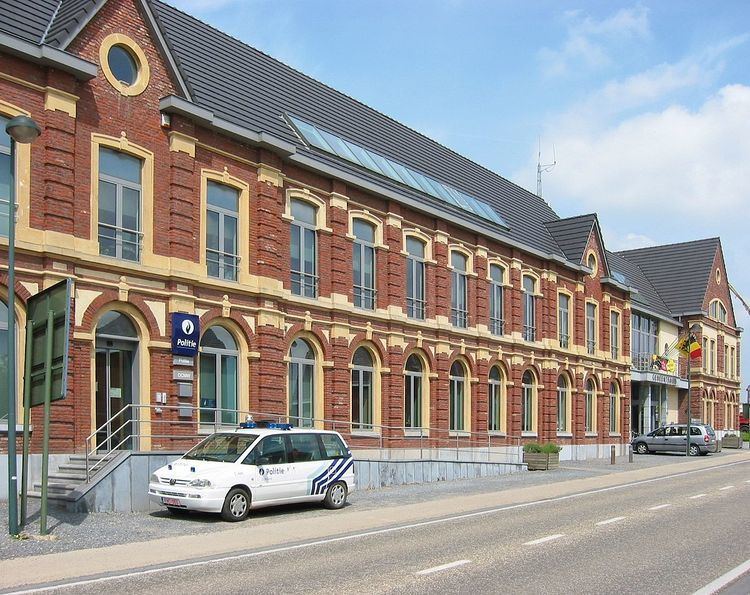
Bertem ( [ˈbɛrtɛm]) is a municipality located in the Belgian province of Flemish Brabant. The municipality comprises the towns of Bertem proper, Korbeek-Dijle and Leefdaal. On January 1, 2006, Bertem had a total population of 9,215. The total area is 29.75 km² which gives a population density of 310 inhabitants per km².
Map of Bertem, Belgium
The area is noted for its rural landscape, in particular the Koeheide [1] and Bertembos ("Bertem Forest"). On the open plains of Leefdaal, it is possible to see the endangered European Hamster (Cricetus cricetus) (external link European Hamster). The village of Bertem itself is home to the Sint-Pieters-Bandenkerk, a romanesque church built between 950 and 1050.
References
Bertem Wikipedia(Text) CC BY-SA