
OS grid reference NU005435 Post town BERWICK-UPON-TWEED Local time Saturday 11:20 PM | Sovereign state United Kingdom Postcode district TD15 | |
 | ||
Weather 5°C, Wind SE at 8 km/h, 96% Humidity | ||
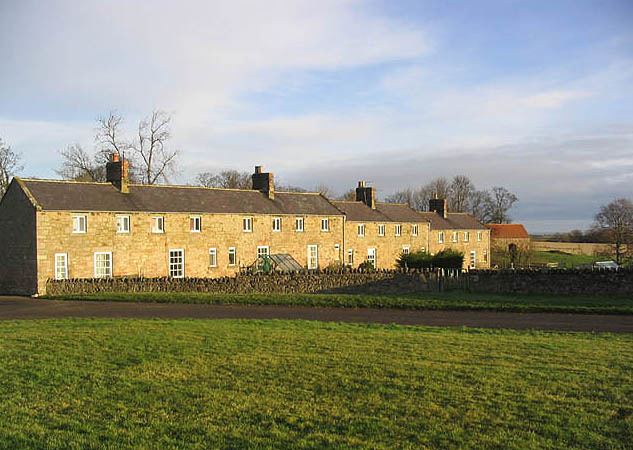
Berrington is a village in Northumberland, in England. It is situated to the south of Berwick-upon-Tweed, inland from the North Sea coast.
Contents
Map of Berrington, Berwick-upon-Tweed, UK
Governance
Berrington is in the parliamentary constituency of Berwick-upon-Tweed.
Landmarks
The Devil's Causeway passes the eastern edge of the settlement. The causeway is a Roman road which starts at Port Gate on Hadrian's Wall, north of Corbridge, and extends 55 miles (89 km) northwards across Northumberland to the mouth of the River Tweed at Berwick-upon-Tweed.
References
Berrington, Northumberland Wikipedia(Text) CC BY-SA