
Country United States County Berrien ZIP codes 49103-49104 Elevation 205 m Population 1,779 (2013) | Time zone Eastern (EST) (UTC-5) FIPS code 26-07860 Local time Saturday 6:16 PM Area code 269 | |
 | ||
Weather 1°C, Wind SE at 24 km/h, 55% Humidity Area 2.642 km² (243 ha Land / 21 ha Water) Colleges and Universities Andrews University, Griggs International Academy | ||
Berrien Springs is a village in Berrien County in the U.S. state of Michigan. The population was 1,800 at the 2010 census. The village is located within Oronoko Charter Township. Berrien Springs is best known for its Seventh-day Adventist community and Andrews University. Reflecting the town's population, many of the businesses in town are closed on Saturdays.
Contents
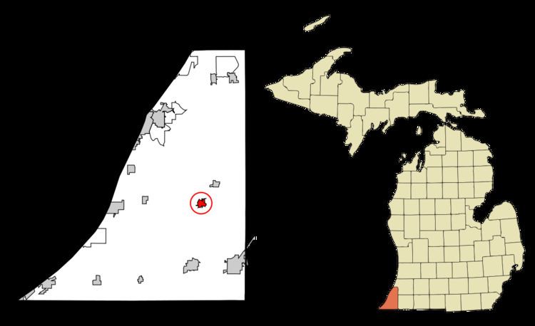
- Map of Berrien Springs MI 49103 USA
- History
- The 1839 Courthouse
- Geography
- 2010 census
- 2000 census
- Elementary
- Secondary
- Post secondary
- Notable people
- References
Map of Berrien Springs, MI 49103, USA
History
Berrien Springs, like Berrien County, is named for John M. Berrien; "Springs" was added after mineral springs were discovered in the area. The village is the site of the earliest settlement in Oronoko Township, and was first known as "Wolf's Prairie" in reference to the 1,000-acre prairie in which it was situated. The site had been a village under the leadership of a Potawatamie man named Wolf. The first permanent settlers, John Pike and his family, came in 1829.
The village of Berrien was platted in 1831, and the village of Berrien Springs was incorporated in 1863. Berrien Springs was the county seat from 1837 until 1894, when St. Joseph became county seat. The Berrien Springs post office opened with the name Berrien on December 4, 1832 and changed to Berrien Springs on April 18, 1836.
The 1839 Courthouse
When Berrien Springs became the county seat, its courthouse, designed by local architect Gilbert B. Avery, was completed in 1839. The Greek Revival-style courthouse emulated the architecture of ancient Greece with its large columns, triangular pediment and white paint. After the county seat was moved in 1894, the building was put to various uses and briefly was vacant. In 1967, efforts to preserve and restore the courthouse began.
The restored courthouse square contains Michigan's oldest courthouse as part of the Midwest's most complete surviving mid-nineteenth century county government complex. Today the square houses a county museum and archives and serves as headquarters for the Berrien County Historical Association. Its original buildings are listed on the National Register of Historic Places. The gallery on the first floor of the 1839 Courthouse is devoted to exhibits on Berrien County history. Topics covered include early colonial forts, the fur trade, railroads, the Civil War, early Berrien County industries, Native Americans and area pre-history. The Sheriff's House gallery hosts changing exhibits. Classroom programs include living-history presentations. Teachers can invite a Civil War soldier or French voyageur to speak to their class.
Geography
According to the United States Census Bureau, the village has a total area of 1.02 square miles (2.64 km2), of which 0.94 square miles (2.43 km2) is land and 0.08 square miles (0.21 km2) is water. The village is situated on the St. Joseph River.
2010 census
As of the census of 2010, there were 1,800 people, 756 households, and 463 families residing in the village. The population density was 1,914.9 inhabitants per square mile (739.3/km2). There were 837 housing units at an average density of 890.4 per square mile (343.8/km2). The racial makeup of the village was 72.7% White, 12.9% African American, 0.4% Native American, 5.1% Asian, 0.4% Pacific Islander, 3.8% from other races, and 4.7% from two or more races. Hispanic or Latino of any race were 12.9% of the population.
There were 756 households of which 30.2% had children under the age of 18 living with them, 40.9% were married couples living together, 16.0% had a female householder with no husband present, 4.4% had a male householder with no wife present, and 38.8% were non-families. 32.0% of all households were made up of individuals and 11.2% had someone living alone who was 65 years of age or older. The average household size was 2.35 and the average family size was 2.95.
The median age in the village was 34.6 years. 22.8% of residents were under the age of 18; 13.1% were between the ages of 18 and 24; 27.2% were from 25 to 44; 23.3% were from 45 to 64; and 13.7% were 65 years of age or older. The gender makeup of the village was 47.9% male and 52.1% female.
2000 census
As of the census of 2000, there were 1,862 people, 732 households, and 475 families residing in the village. The population density was 2,059.6 per square mile (798.8/km²). There were 787 housing units at an average density of 870.5 per square mile (337.6/km²). The racial makeup of the village was 77.12% White, 11.06% African American, 0.43% Native American, 4.03% Asian, 0.16% Pacific Islander, 4.30% from other races, and 2.90% from two or more races. Hispanic or Latino of any race were 8.92% of the population.
There were 732 households out of which 30.2% had children under the age of 18 living with them, 49.2% were married couples living together, 11.6% had a female householder with no husband present, and 35.0% were non-families. 29.8% of all households were made up of individuals and 10.7% had someone living alone who was 65 years of age or older. The average household size was 2.46 and the average family size was 3.05.
In the village, the population was spread out with 23.0% under the age of 18, 11.9% from 18 to 24, 28.7% from 25 to 44, 21.0% from 45 to 64, and 15.3% who were 65 years of age or older. The median age was 36 years. For every 100 females there were 95.0 males. For every 100 females age 18 and over, there were 88.1 males.
The median income for a household in the village was $32,396, and the median income for a family was $41,250. Males had a median income of $31,467 versus $21,750 for females. The per capita income for the village was $16,093. About 12.4% of families and 17.5% of the population were below the poverty line, including 25.4% of those under age 18 and 4.1% of those age 65 or over.