
Time zone CST (UTC-6) Elevation 264 m Local time Saturday 5:11 PM | Established February 14, 1857 ZIP codes 61053, 61062, 61085 Area 46.46 km² Population 147 (2010) | |
 | ||
Weather 6°C, Wind E at 26 km/h, 62% Humidity | ||
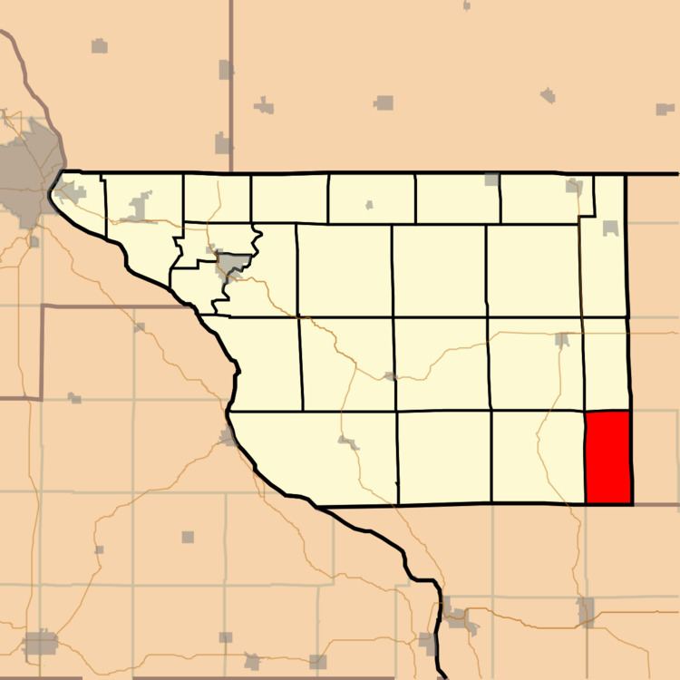
Berreman Township is one of twenty-three townships in Jo Daviess County, Illinois, USA. As of the 2010 census, its population was 147 and it contained 73 housing units. It was formed from Pleasant Valley Township on February 14, 1857.
Contents
- Map of Berreman Township IL USA
- Geography
- Adjacent townships
- Cemeteries
- School districts
- Political districts
- References
Map of Berreman Township, IL, USA
Geography
According to the 2010 census, the township has a total area of 17.94 square miles (46.5 km2), all land.
Adjacent townships
Cemeteries
The township contains Clay Cemetery.
School districts
Political districts
References
Berreman Township, Jo Daviess County, Illinois Wikipedia(Text) CC BY-SA