
Time zone CET (UTC+1) Area 68.59 km² | Elevation 0 m (0 ft) Postcode 3211–3218, 3227 Local time Saturday 11:46 PM Area code 0181 Team GHVV '13 | |
 | ||
Website www.gemeentebernisse.nl Weather 7°C, Wind S at 18 km/h, 86% Humidity | ||
Bernisse ( pronunciation ) is a former municipality in the western Netherlands, in the province of South Holland. Since 2015 it has been a part of the municipality of Nissewaard.
Map of Bernisse, Netherlands
The former municipality had a population of 12,384 in 2014, and covered an area of 68.46 km2 (26.43 sq mi) of which 11.12 km2 (4.29 sq mi) was water.
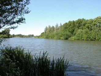
The former municipality was named after the river Bernisse, which flows right through it from the Spui to the Brielse meer and separates the estuary islands of Voorne and Putten.
The former municipality of Bernisse consisted of the following communities: Abbenbroek, Biert, Geervliet, Heenvliet, Oudenhoorn, Simonshaven, Zuidland.
The municipality of Bernisse was formed on January 1, 1980, through the amalgamation of the municipalities Abbenbroek, Oudenhoorn, Zuidland, and parts of the municipalities Geervliet (including Simonshaven) and Heenvliet.
Dutch Topographic map of the former municipality of Bernisse, 2013.