Elevation 549 m | ||
 | ||
Similar Grüner Heiner, Bopser, Lemberg (Stuttgart), Raichberg | ||
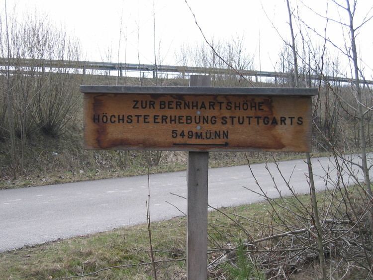
The Bernhartshöhe (Bernhart's heights) is a mountain of 549 m (1,801 ft) on the territory of the Vaihingen district, covering the southwesternmost part of the city of Stuttgart, capital of the German Bundesland (state) of Baden-Württemberg. It is the highest point of elevation of that city. Bernhartshöhe is directly adjacent to the crossing of the A 8 and A 81 motorways (Autobahnkreuz Stuttgart), two crucial traffic arteries of Southern Germany.
Map of Bernhartsh%C3%B6he, 70569 Stuttgart, Germany
References
Bernhartshöhe Wikipedia(Text) CC BY-SA
