
CPA base N3366 Elevation 835 m Local time Saturday 6:59 PM | Time zone ART (UTC-3) Dialing code +54 3741 | |
 | ||
Department General Manuel Belgrano Weather 23°C, Wind NW at 11 km/h, 91% Humidity | ||
Bernardo de Irigoyen is a city in the province of Misiones, Argentina. It has 10,889 inhabitants as per the 2001 census , and is the head town of the General Manuel Belgrano Department. It carries the name of prominent politician and diplomat Bernardo de Irigoyen.
Contents
Map of Bernardo de Irigoyen, Misiones Province, Argentina
Location
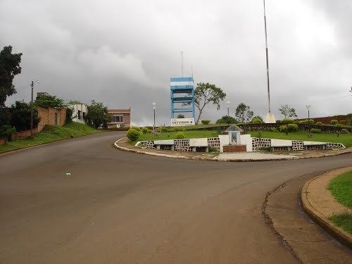
The city is located in the easternmost point of Argentina, on the border with Brazil, next to Dionísio Cerqueira (state of Santa Catarina) and Barracão (state of Paraná), an important entrance to the country. It lies on Barracón Hill, at an altitude of 835 m, the highest point in Misiones, by National Route 14, which connects the Argentine Mesopotamia with other regions of the country.
The municipality contains part of the 84,000 hectares (210,000 acres) Urugua-í Provincial Park, created in 1990.