Population Uninhabited | Length 1 km (0.6 mi) | |
 | ||
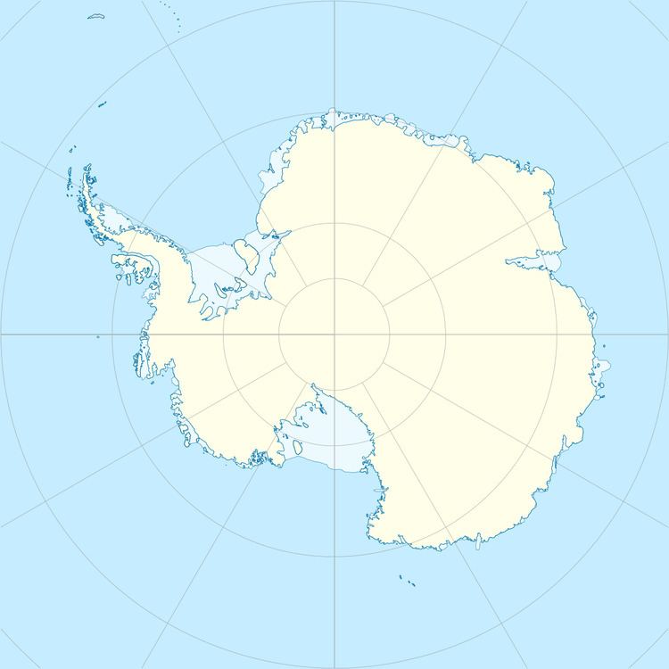
Berkley Island (66°13′S 110°39′E) is an island, 1 kilometre (0.5 nmi) long, which marks the northeast end of the Swain Islands. It was first mapped from air photos taken by U.S. Navy Operation Highjump, 1946–47, and was included in a survey of the Swain Islands in 1957 by Wilkes Station personnel under Carl R. Eklund. It was named by Eklund for Richard J. Berkley, a geomagnetician with the US-IGY wintering party of 1957 at Wilkes Station.
References
Berkley Island Wikipedia(Text) CC BY-SA
