
10/28 2,205 Elevation 52 m | Elevation AMSL 171 ft / 52 m Code EGC Phone +33 5 53 22 25 25 | |
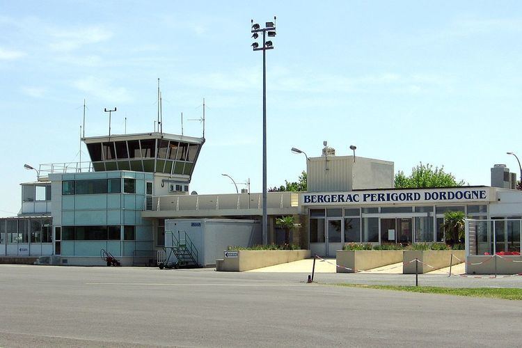 | ||
Airport type Private, Seasonal Public Website www.bergerac.aeroport.fr Address Route d'Agen, 24100 Bergerac, France Profiles | ||
Bergerac airport a roport bergerac dordogne p rigord
Bergerac Dordogne Périgord Airport (French: Aéroport de Bergerac Dordogne Périgord) (IATA: EGC, ICAO: LFBE) is an airport serving Bergerac, a commune of the Dordogne department (formerly the Périgord province) in the Aquitaine region of France. The airport is located 3 kilometres (1.6 NM) south-southeast of Bergerac. It is also known as Bergerac-Roumanière Airport.
Contents
Facilities
The airport is situated at an elevation of 52 metres (171 ft) above mean sea level. It has one paved runway designated 10/28 which measures 2,205 by 45 metres (7,234 ft × 148 ft). It also has a parallel unpaved runway with a grass surface measuring 770 by 60 metres (2,526 ft × 197 ft).
References
Bergerac Dordogne Périgord Airport Wikipedia(Text) CC BY-SA