
 | ||
Bergen Beach is a neighborhood in the New York City borough of Brooklyn. The area is part of Brooklyn Community Board 18. Bergen Beach is served by the B3, B41, BM1 MTA Regional Bus Operations bus routes.
Contents
Map of Bergen Beach, Brooklyn, NY 11234, USA
History
The neighborhood is named for Hans Hansen Bergen, an early Norwegian settler of New Netherland. What is now Bergen Beach was an island off the coast of Canarsie that was connected to the mainland in the early 1900s using landfill.
Georgetowne
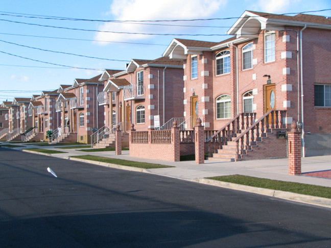
Part of the neighborhood, called Georgetowne, was undeveloped until the 1960s, when a community of 400 two-story colonials called Georgetowne Greens was proposed. Around the same time, Mayor John Lindsay sought to build a 904-unit middle-class project called Harbour Village in the same area. Harbour Village would be a Mitchell-Lama development; the uncertainty of whether it would be approved brought new construction on Georgetowne Greens to a halt.
The New York City Board of Estimate approved Harbour Village by an 18-0 vote on March 25, 1971, but ultimately rejected the proposal after public outcry by the mostly white, mostly well-off residents of nearby Bergen Beach and Mill Basin. By that point, interest in Georgetowne Greens had waned, and the project was terminated. The first houses built for the development still remain. Today, Georgetowne, which is considered a subsection of Bergen Beach, is bounded by Ralph Avenue to the west, Veterans Avenue to the south, either Avenue T or Avenue U to the southeast, and Paerdegat Basin to the northeast.
The area is also the site of a new combined sewer overflow (CSO) facility for Paerdegat Basin. The CSO facility was completed in August 2011.