
Time zone CET (UTC+1) Website www.bergambacht.nl Local time Saturday 5:28 PM Area code 0182 | Elevation 1 m (3 ft) Postcode 2825, 2860–2861, 2865 Area 38.05 km² | |
 | ||
Weather 9°C, Wind SW at 13 km/h, 89% Humidity | ||
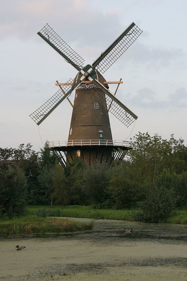
Bergambacht ( [bɛrxˈʔɑmbɑxt]) is a village and former municipality in the western Netherlands, in the province of South Holland. Since 2015 it has been a part of the municipality of Krimpenerwaard.
Map of Bergambacht, Netherlands
The former municipality covered an area of 38.06 km2 (14.70 sq mi) of which 2.96 km2 (1.14 sq mi) was water, and had a population of 10,016 as of 2014. The former municipality included the communities of Ammerstol and Berkenwoude, which were separate municipalities until they merged with Bergambacht in 1985.
Topographic map of the former municipality of Bergambacht, 2013.
References
Bergambacht Wikipedia(Text) CC BY-SA